About CampScan Aerial
CampScan Aerial is a specialized service created from practical understanding of RV travel, campground navigation, outdoor properties, drone imaging, photography, and visual communication.

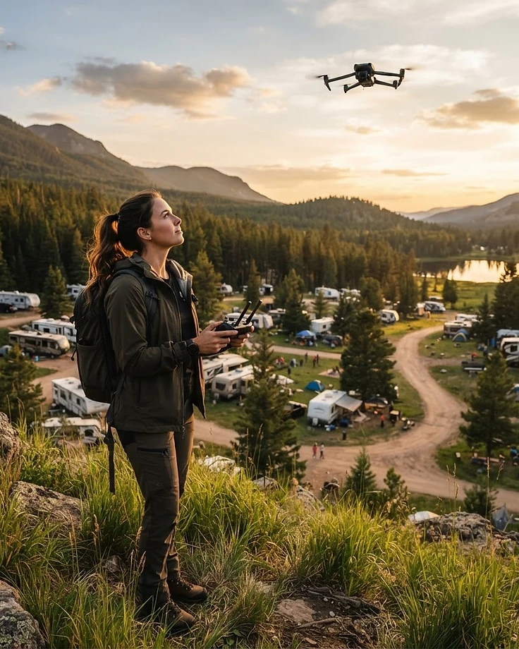
The CampScan Approach
CampScan Aerial was created to solve a real problem: campground and outdoor-property owners working with outdated maps, scattered photos, and ground-level perspectives that miss the bigger picture. We fly systematic aerial capture over a property and turn it into organized, location-referenced documentation built for management use — labeled aerial property maps, operations and circulation maps, guest maps, visual observation reports, numbered photo appendices, access-route imagery, condition documentation, annual before-and-after comparisons, promotional photography, and edited promotional video.
We are not a general drone-photography company and not a real-estate photography service. We serve campgrounds, RV parks, RV resorts, glamping properties, marinas, outdoor recreation properties, event grounds, and fairgrounds. Work is bought as one of five published service levels — CampScan Map, CampScan Operations, CampScan Complete, CampScan Enterprise, and CampScan Risk Documentation — each with its starting price listed up front, plus optional annual monitoring plans and add-ons. You request a scan through the site, receive a written scope and fixed quote, reserve the flight with a 50% deposit, and pay the balance at delivery. You review a draft, submit one consolidated correction list, and receive the finished files in organized folders you keep.
The business is run by a founder whose background is in RV travel, campground navigation, drone imaging, and visual communication — someone who has stood in a campground office trying to explain a site layout with a hand-drawn map. That perspective shapes how every project is scoped. Capture is performed by a network of FAA Part 107 certified, commercially insured pilots around the country, and each project is reviewed before delivery, so you deal with people who understand the property, not a dispatch queue.
FAA Part 107 Pilot
Flights are conducted by an FAA Part 107 remote pilot.
Commercial Drone Insurance
Commercial drone liability insurance is maintained.
Equipment Summary
Professional mapping and imaging drones with redundant systems.
Service Area & Travel
We have licensed and insured pilots around the country to assess and perform the required mapping and drone services needed for your property.
Let's Document Your Property
Request a property scan and we'll build a scope around your campground or outdoor property.